California-based USV (unmanned surface vehicle) manufacturer Saildrone sends its autonomous drones in yet another mission, this time to sail through the Gulf Stream, collecting valuable data on the ocean’s carbon uptake.
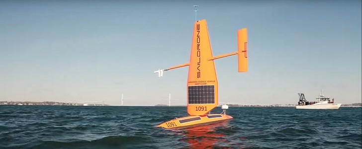
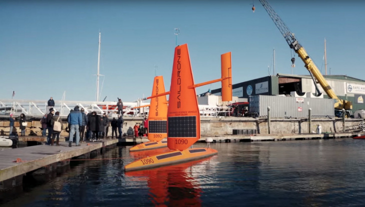
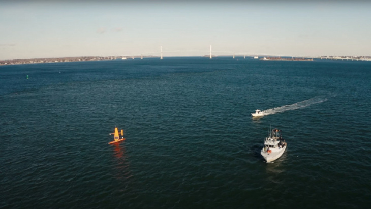
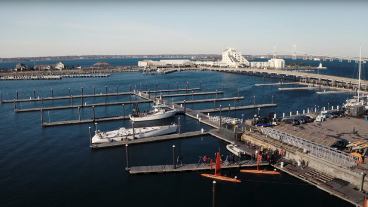
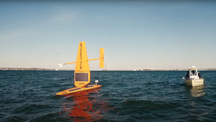
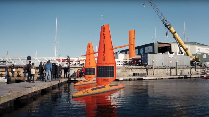
Maritime research is vital for a better understanding of our planet and its everchanging climate. But large, standard vessels are expensive and time-consuming to build, which is why Saildrone has a better alternative in mind: small, autonomous, wind and solar-powered surface vehicles that are cost-effective and dubbed the world’s most capable and trusted USVs. They use the company’s patented wing technology, collecting data and providing useful information that can be used in a variety of fields, from maritime security to mapping, weather forecasting, climate change, global fishing, and more. This summer, Saildrone launched several such ocean drones in the Caribbean (in the U.S. Virgin Islands), to gather valuable data during this year’s Atlantic hurricane season. The USVs went straight onto the paths of hurricanes, transmitting real-time data such as water temperature, barometric pressure, wind speed, wind direction, etc. There’s even footage from one of Saildrone’s autonomous vessels inside the category four hurricane Sam, in the Atlantic Ocean, with the USV being forced to face 50 ft (15 m) waves and winds over 120 mph (193 kph). Now Saildrone launched three more drones to sail through North Atlantic’s Gulf Stream for the next six months. They will collect critical, in situ data that will help scientists improve weather forecasts and hold countries accountable for carbon goals. Once again, these small but brave USVs will have to face some of the harshest ocean conditions, in areas that are hard to investigate by conventional crewed vessels. While the Gulf Stream has a very big impact on climate predictions and weather forecasts, it is a challenging area that is tricky to explore, which is why scientists are using these unmanned vessels to collect data instead of risking human lives. The Global Carbon Budget released at this year’s COP26 climate change conference uses ocean carbon uptake estimates generated by sophisticated models and statistics. But they offer a wide variety of results, which is why researchers want to start relying on actual in situ data. As explained by Jaime Palter, one of the mission’s researchers from the University of Rhode Island, there’s a lot of uncertainty in ocean carbon uptake; nearly 4 billion tons of CO2 separates the average of the model-based estimates from observation-based estimates, which is almost the amount of CO2 emitted by the U.S. every year. With the new in-situ observations, scientists hope they can do better. Saildrone expects to retrieve its three Explorer drones in Newport, Rhode Island, in mid-2022.
Keyword: Three Brave Saildrone Explorer Ocean Drones Set Sail in New Gulf Stream Mission